Western Colorado Watershed Sciences
Defensible science for watersheds.
We pair ecological assessment with advanced GIS database engineering to deliver audit-ready data for land and water managers.
Rigorous ecological and environmental data.
100%
spatial database integrity
Our core scientific disciplines.
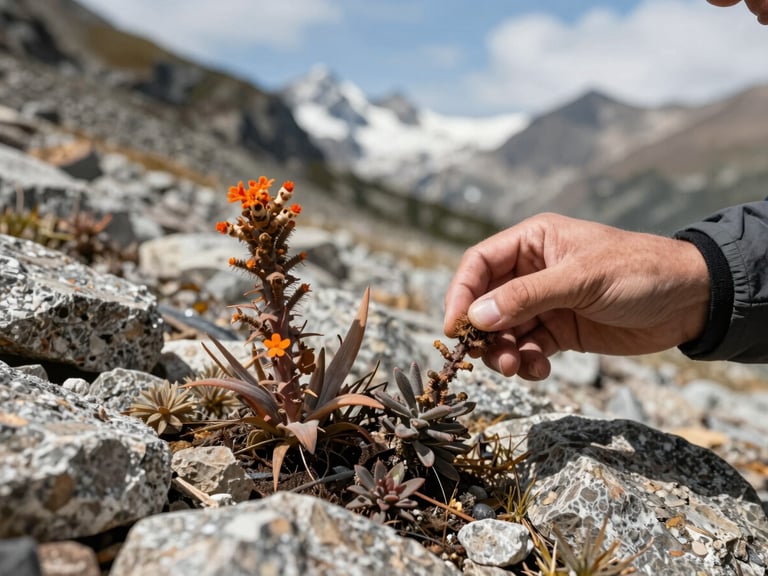
High-altitude botanical surveys
In-situ botanical monitoring and native seed viability testing engineered specifically for post-wildfire recovery and fragile alpine soil reclamation.
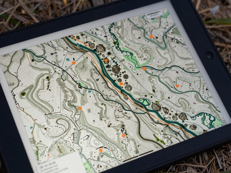
Advanced GIS database engineering
We build structured, query-ready spatial databases that survive long-term monitoring cycles and meet strict regulatory compliance standards.
Field-verified, audit-ready science.
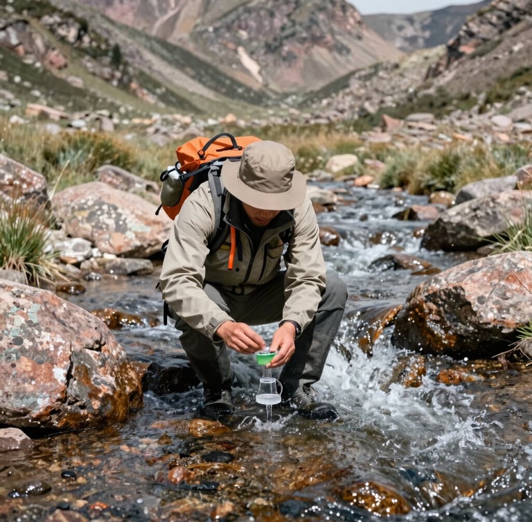
We do not estimate critical ecological indices from satellite imagery alone. Our field teams ground-truth every spatial model by hiking the terrain and collecting physical samples.
This rigorous approach ensures that our technical writing and environmental assessments are fully defensible under federal and municipal audits.
Secure defensible watershed data.
Partner with the Western Slope's leading ecological consultants for rigorous field surveys, spatial modeling, and audit-ready reporting.
Western Colorado Watershed Sciences
Defensible science and spatial database integrity for the Western Slope.
SYSTEM
Home
Services
Projects
About
Contact
FIELD OFFICE
info@westerncowatershed.com
Grand Junction, Colorado
Serving the Intermountain West
© 2026 Western Colorado Watershed Sciences-Defensible ecological consulting for the Intermountain West.
GROUND-TRUTHED FIELD DATA