Defensible science for high-altitude watersheds.
We deliver rigorous botanical surveying, spatial database engineering, and post-wildfire ecological restoration across the Western Slope. Ground-truthed data built for strict regulatory compliance.
Our nine core ecological disciplines.
Botany & Floristics
Spatial Databases
Riparian Monitoring
High-altitude botanical surveys designed for strict federal and state environmental compliance.
Clean, query-ready database architectures built to survive multi-decade ecological monitoring cycles.
Rigorous field sampling and transect analysis to track watershed health and vegetative shifts.
Environmental Ed
GIS & Spatial Analysis
Habitat Evaluation
Technical training and community outreach programs translating complex watershed science for public stakeholders.
Advanced terrain modeling, watershed delineation, and high-resolution cartographic production.
Quantitative assessments of wildlife corridors, sensitive species habitats, and conservation values.
Wildfire Restoration
Technical Writing
Water Quality
Defensible post-fire recovery plans focused on soil stabilization and native seed viability.
Audit-ready environmental assessments, biological evaluations, and regulatory compliance reports.
Physical, chemical, and biological sampling of high-altitude streams and municipal reservoirs.
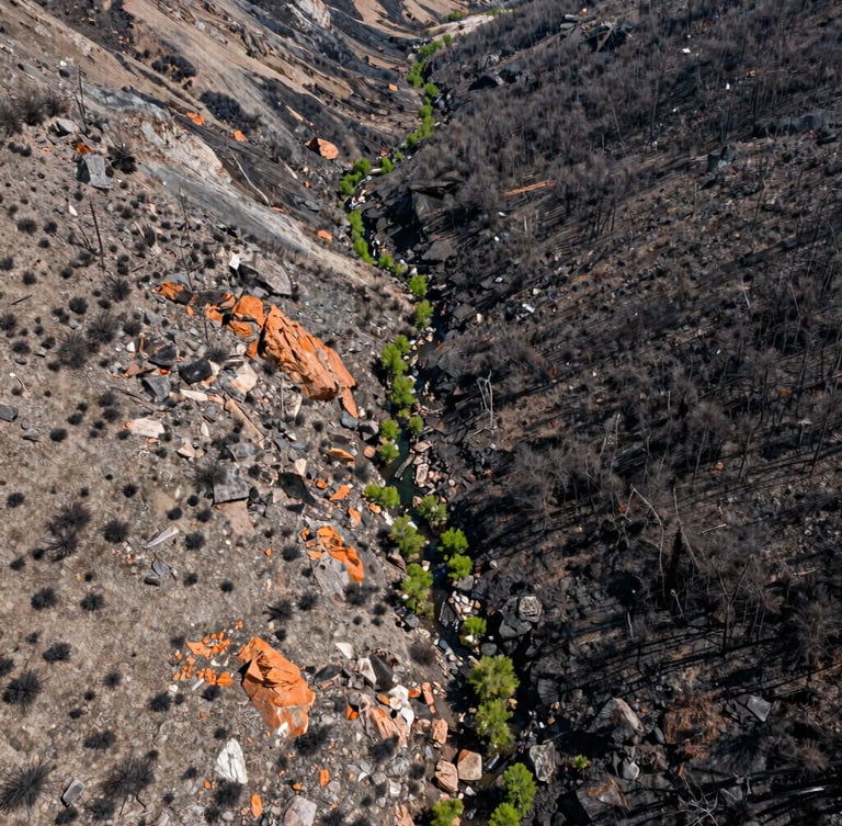
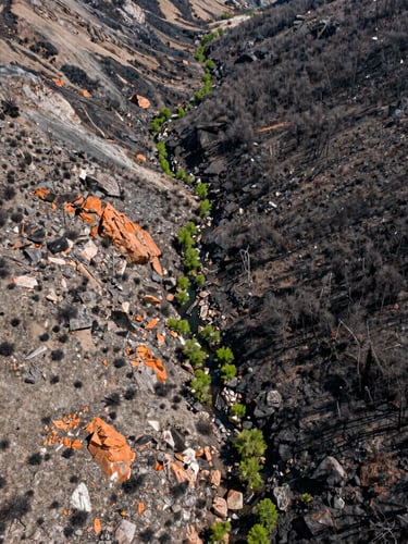
Post-wildfire soil and seed recovery.
We design reclamation plans based on localized soil chemistry and native seed viability. By mapping burn severity and modeling debris flow, we help land managers protect critical municipal water infrastructure.
Our field teams ground-truth high-altitude transects to monitor long-term vegetative recovery, ensuring every spatial model matches physical realities.
Ready to secure your watershed data?
Partner with the Western Slope's trusted ecological consultancy. We deliver audit-ready reports and structured spatial databases.
Western Colorado Watershed Sciences
Defensible science and spatial database integrity for the Western Slope.
SYSTEM
Home
Services
Projects
About
Contact
FIELD OFFICE
info@westerncowatershed.com
Grand Junction, Colorado
Serving the Intermountain West
© 2026 Western Colorado Watershed Sciences-Defensible ecological consulting for the Intermountain West.
GROUND-TRUTHED FIELD DATA