/ FIELD DEPLOYMENTS
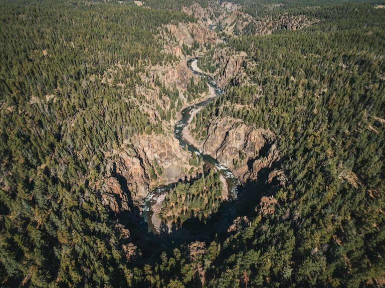
Defensible high-altitude field science
We deliver audit-ready ecological data, GIS spatial models, and post-wildfire recovery plans tailored to the regulatory realities of Intermountain West watersheds.
SECURE PROCUREMENT
Initiate your project inquiry
Submit your RFP or spatial database audit request. Our Grand Junction team aligns with municipal and federal procurement cycles for prompt, professional responses.
Western Colorado Watershed Sciences
Defensible science and spatial database integrity for the Western Slope.
SYSTEM
Home
Services
Projects
About
Contact
FIELD OFFICE
info@westerncowatershed.com
Grand Junction, Colorado
Serving the Intermountain West
© 2026 Western Colorado Watershed Sciences-Defensible ecological consulting for the Intermountain West.
GROUND-TRUTHED FIELD DATA