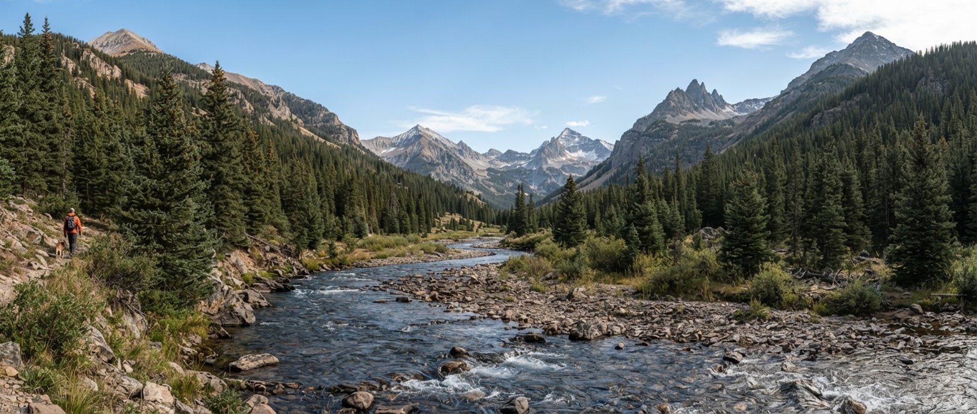
Defensible Western Slope Science
We deliver rigorous botanical surveys, spatial database integrity, and post-wildfire recovery plans grounded in physical fieldwork across Colorado's high-altitude watersheds and riparian zones.
Our Scientific Credentials
Our work stands up to strict regulatory audit and legal scrutiny. We maintain rigorous QA/QC protocols for spatial data structures, botanical taxonomy, and environmental reporting.
Taxonomic Precision
Database Integrity
Defensible Reports
Led by specialized field biologists cataloging fragile high-altitude botany with physical voucher specimens and rigorous taxonomic keys to ensure absolute compliance.
Advanced GIS database engineers structuring clean, query-ready spatial models that survive long-term compliance monitoring cycles and rigorous agency audits.
Experienced technical writers producing audit-ready environmental assessments, water quality reports, and defensible post-wildfire recovery plans for public agencies.
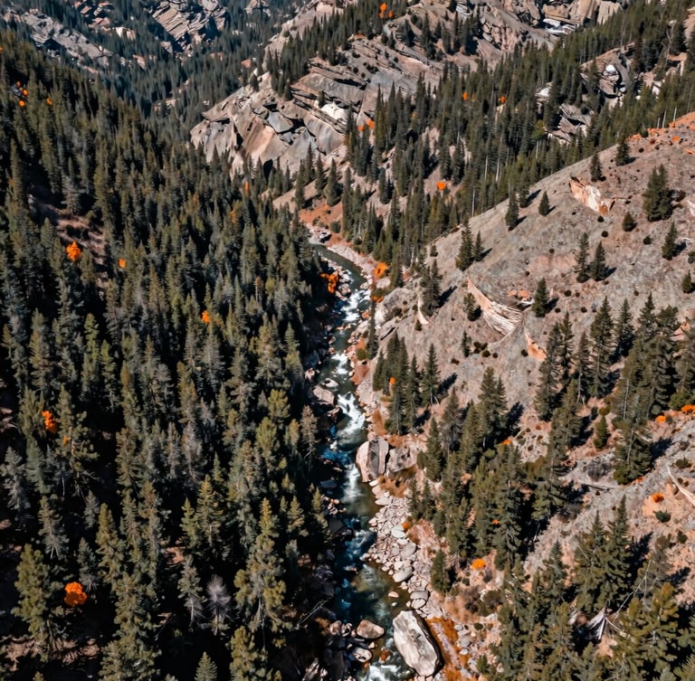
Western Slope Hydrology
We do not estimate from satellite imagery alone. Our teams hike the rugged terrain of Western Colorado, collecting physical soil, water, and botanical samples to validate every spatial model.
From post-wildfire burn scars to fragile riparian zones, our localized expertise ensures compliance and successful restoration in high-altitude environments.
Ready for Field Deployment
Contact our field office to discuss environmental compliance, spatial database engineering, or botanical survey deployments for your next project.
Western Colorado Watershed Sciences
Defensible science and spatial database integrity for the Western Slope.
SYSTEM
Home
Services
Projects
About
Contact
FIELD OFFICE
info@westerncowatershed.com
Grand Junction, Colorado
Serving the Intermountain West
© 2026 Western Colorado Watershed Sciences-Defensible ecological consulting for the Intermountain West.
GROUND-TRUTHED FIELD DATA