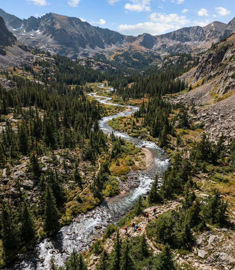
Documented Western Slope science
Rigorous environmental data collection, high-altitude botany, and defensible spatial database engineering across fragile mountain watersheds of the Western Slope.
Active field campaigns
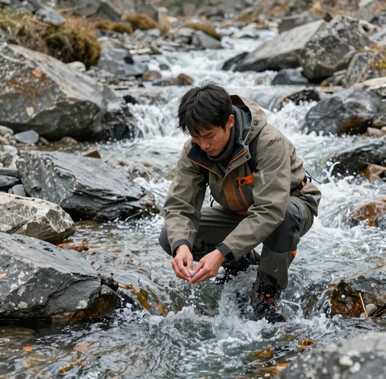
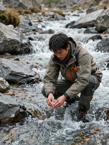
Three critical watershed projects ground-truthed through rigorous botanical surveying, spatial modeling, and soil analysis to deliver defensible science for municipal water districts.
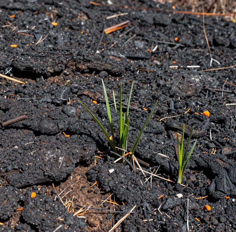
Grizzly Creek burn monitoring
Five-year post-fire vegetative recovery study tracking native seed viability and soil chemistry across three high-altitude sub-watersheds.
Delivered defensible soil-stability models and query-ready databases to municipal water directors for long-term watershed mitigation planning.
Roaring Fork baseline database
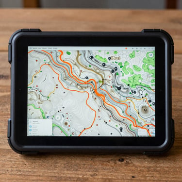
Comprehensive botanical inventory and spatial database engineering mapping invasive species distribution across fifty miles of riparian corridor.
Engineered a multi-year GIS database with absolute spatial database integrity to survive long-term federal monitoring and compliance cycles.
Rigorous field archive
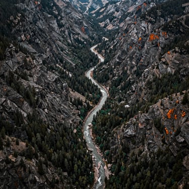
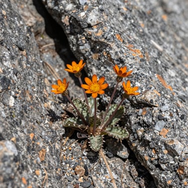
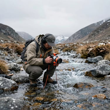
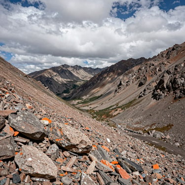
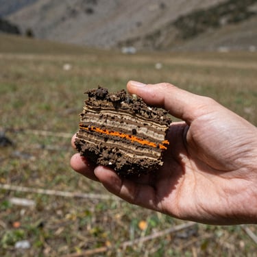
A visual record of our active research sites, botanical specimens, and spatial mapping deployments across Western Colorado.
Request a technical proposal
Partner with the Western Slope's dedicated ecological consultancy for defensible science, rigorous GIS database engineering, and audit-ready field data.
Western Colorado Watershed Sciences
Defensible science and spatial database integrity for the Western Slope.
SYSTEM
Home
Services
Projects
About
Contact
FIELD OFFICE
info@westerncowatershed.com
Grand Junction, Colorado
Serving the Intermountain West
© 2026 Western Colorado Watershed Sciences-Defensible ecological consulting for the Intermountain West.
GROUND-TRUTHED FIELD DATA